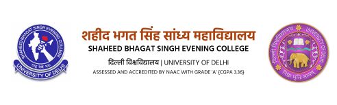


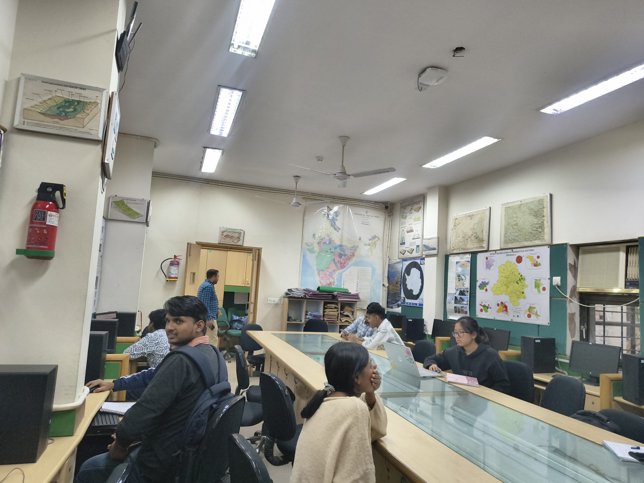
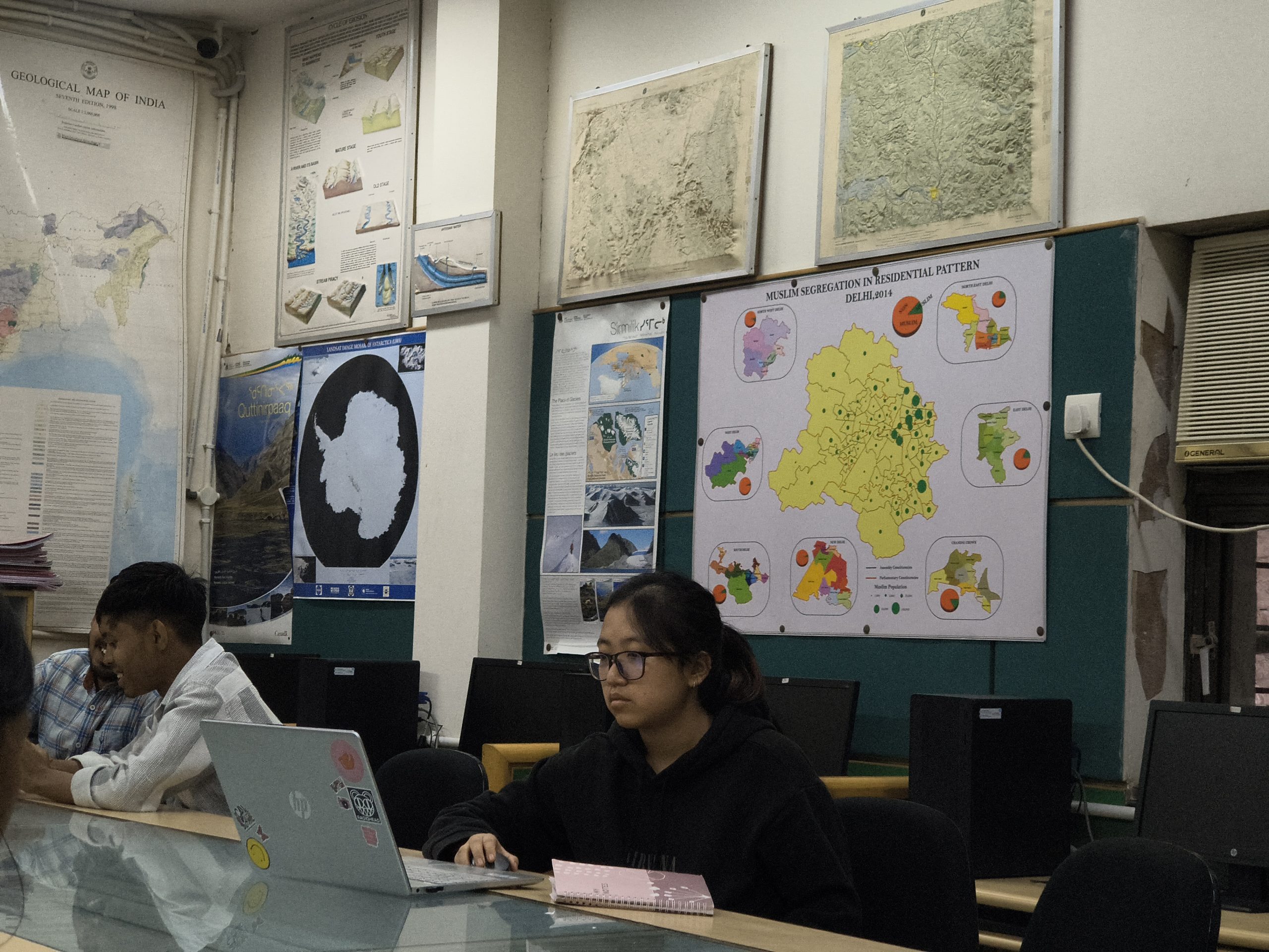
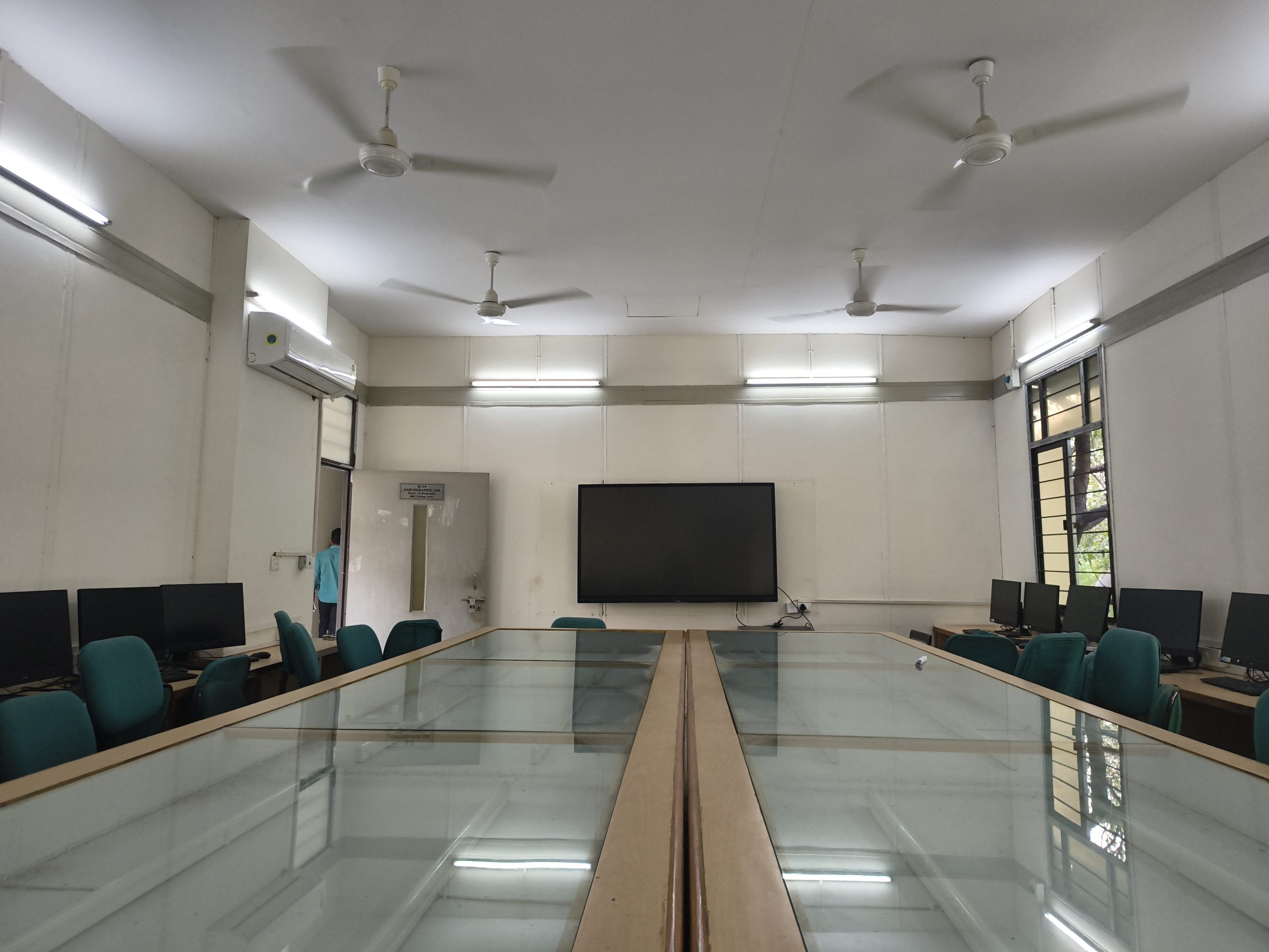
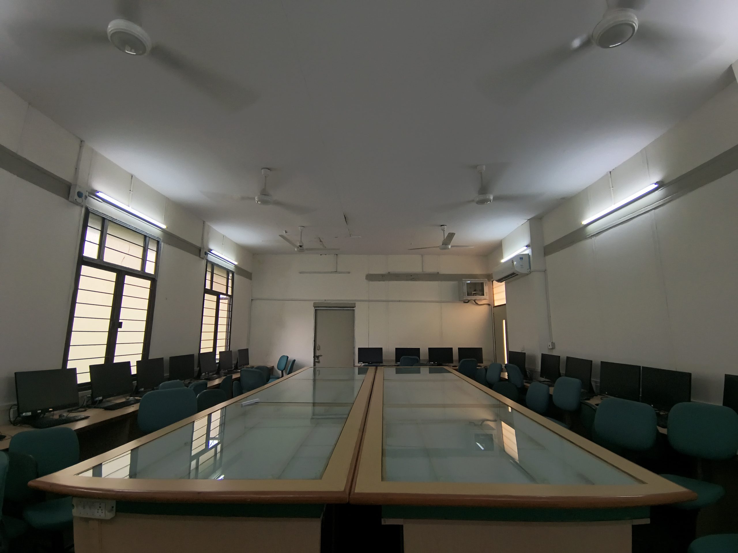
Practical learning forms the backbone of Geography education. Our Geography Laboratory is among the most well-equipped facilities in the University of Delhi, enabling students to develop skills from traditional cartography to advanced digital mapping technologies. Students receive hands-on exposure through modern instruments, licensed software, and field equipment that support professional-level learning.
Cartography Training
Students learn map-making techniques from manual drafting to advanced digital cartography.
Field & Survey Equipment
Modern GPS tools, aerial photographs, and satellite imagery provide real-world exposure.
GIS & Remote Sensing
Licensed software such as ArcGIS, ERDAS Imagine, and MapInfo enable advanced spatial analysis.
First Year: Cartographic techniques and thematic mapping to understand spatial representation.
Second Year: Remote sensing, aerial photography, GPS, and photogrammetry applications.
Third Year: GIS-based digital mapping using advanced licensed software and dedicated computer systems.
Facilities Available
Toposheets
GPS
Satellite Imagery
13 Computers
ArcGIS
ERDAS Imagine
MapInfo
Projectors
Tents
Rucksacks
Aerial Photographs
Pocket Stereoscopes
Weather Maps
French Curves